Terreno Rústico
The premier SaaS marketplace and GIS platform for buying, selling, leasing, and agronomic management of rustic land and agricultural estates in Spain. Consolidated cadastral data, SIGPAC enclosures, and market listings in seconds.
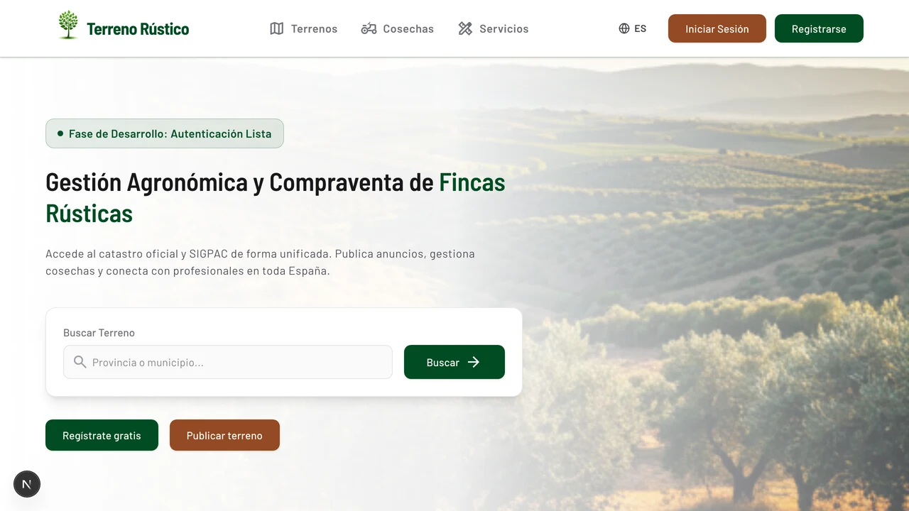
🌱 The Future of Rural Real Estate is Landing Soon
Terreno Rústico is entering its final stage of deployment and optimization. We are tuning our real-time geospatial processing systems and validating mapping datasets to deliver the most robust agricultural marketplace in Spain. The portal will be live shortly on its official domain: terrenorustico.com.For early access inquiries or partnership opportunities, stay tuned as we prepare to open the gates to the public.
The Vision: Digitizing Spain’s Rural Real Estate Market
The market for rustic land, agricultural plots, and rural estates in Spain (compraventa de terrenos rústicos, parcelas agrícolas y fincas rústicas) has historically been opaque, fragmented, and slow. Historically, buyers, farmers, brokers, and developers had to navigate outdated public interfaces, cross-reference disconnected databases, and wait days for basic property insights.
Terreno Rústico is the ultimate digital gateway to the Spanish countryside. Engineered as a high-performance geospatial SaaS and marketplace, it consolidates public cadastral data, soil properties, and agricultural crop history into a clean, comprehensive technical report in just one click. By simplifying complex spatial analytics, we enable fast, secure, and data-driven transactions.
Empowering the Agricultural Ecosystem
Terreno Rústico is built to deliver measurable ROI across the entire land acquisition and agricultural value chain:
- For Landowners: Maximize your listing value. Instantly display verified, government-backed spatial data such as soil admissibility, crop compatibility, and slopes, attracting high-intent buyers and accelerating negotiations.
- For Real Estate Professionals: Scale your rural brokerage. Ditch manual dossiers and leverage dynamic vector maps displaying precise property boundaries, irrigation indexes, and land classification parameters directly in front of clients.
- For Farmers & Agronomists: Secure land and yields. Search for farmland leases (alquiler de tierras de cultivo) or source harvest contracts directly linked to verified parcel boundaries.
- For Institutional Investors: Conduct instant due diligence. Assess land productivity, topography, and machine feasibility using structural geospatial metrics such as slope gradients, altitude profiles, and PostGIS compactness ratios.
Core Features: Advanced Spatial Intelligence
Terreno Rústico is more than a listings directory; it is a full-featured Geographic Information System (GIS) integrated with a modern trading floor.
1. Instant Cadastral Mapping & Reprojection
Using the official Spanish Catastro REST and WFS APIs, the platform fetches parcel geometries on the fly. Because Catastro outputs spatial data in localized UTM coordinates (e.g., EPSG:25830), our NestJS backend utilizes a high-speed PostGIS engine to reproject data to standard WGS84 (EPSG:4326), mapping property lines with pinpoint accuracy.
2. Comprehensive SIGPAC Enclosure Data
Every parcel undergoes immediate spatial intersection checks against the SIGPAC WFS service to overlay vital agricultural parameters:
- Soil usage classifications (vineyards, olive groves, pasturelands).
- Altitude and average slope profiles for machinizability and drainage planning.
- Irrigation eligibility and CAP admissibility coefficients (Coeficiente de Admisibilidad de Pastos).
3. Parcel-Linked Crop Marketplace
A pioneer feature allowing agricultural buyers to purchase upcoming harvest yields (grapes, olives, grains) directly tied to the specific physical plot on which they are cultivated. This introduces complete farm-to-table traceability.
4. Hyperlocal Agricultural Directory
A PostGIS-powered geolocated services index that connects land owners and operators with nearby tractor drivers, drone operators, soil analysts, and surveyors, ranked dynamically by real-time geographical proximity.
The Tech Stack Behind the Platform
To deliver lightning-fast spatial rendering and sub-second query speeds, Terreno Rústico is powered by a modern, cloud-native stack:
- Frontend: Next.js (App Router) and React with TanStack Query for dynamic state management, utilizing MapLibre GL JS for hardware-accelerated rendering of vector maps.
- Backend API: A modular NestJS microservice architecture built on Fastify, adhering to strict Domain-Driven Design (DDD) principles.
- Database & GIS Engine: PostgreSQL paired with PostGIS for optimized spatial indexing (
GIST), polygon intersections (ST_Intersects), and proximity sorting. - Data Layer: Drizzle ORM for fully typed, high-performance database interactions.
Joining the Next Era of Agritech
By unifying complex geospatial datasets and creating an open, transactional marketplace, Terreno Rústico is setting the gold standard for agricultural and rural real estate in Europe.
The future of rural investments is digital. Join us at terrenorustico.com when we launch public access shortly.
Join the conversation
Have thoughts on this post? Share them on social media or reach out directly.